Northern Lower Failand
Description
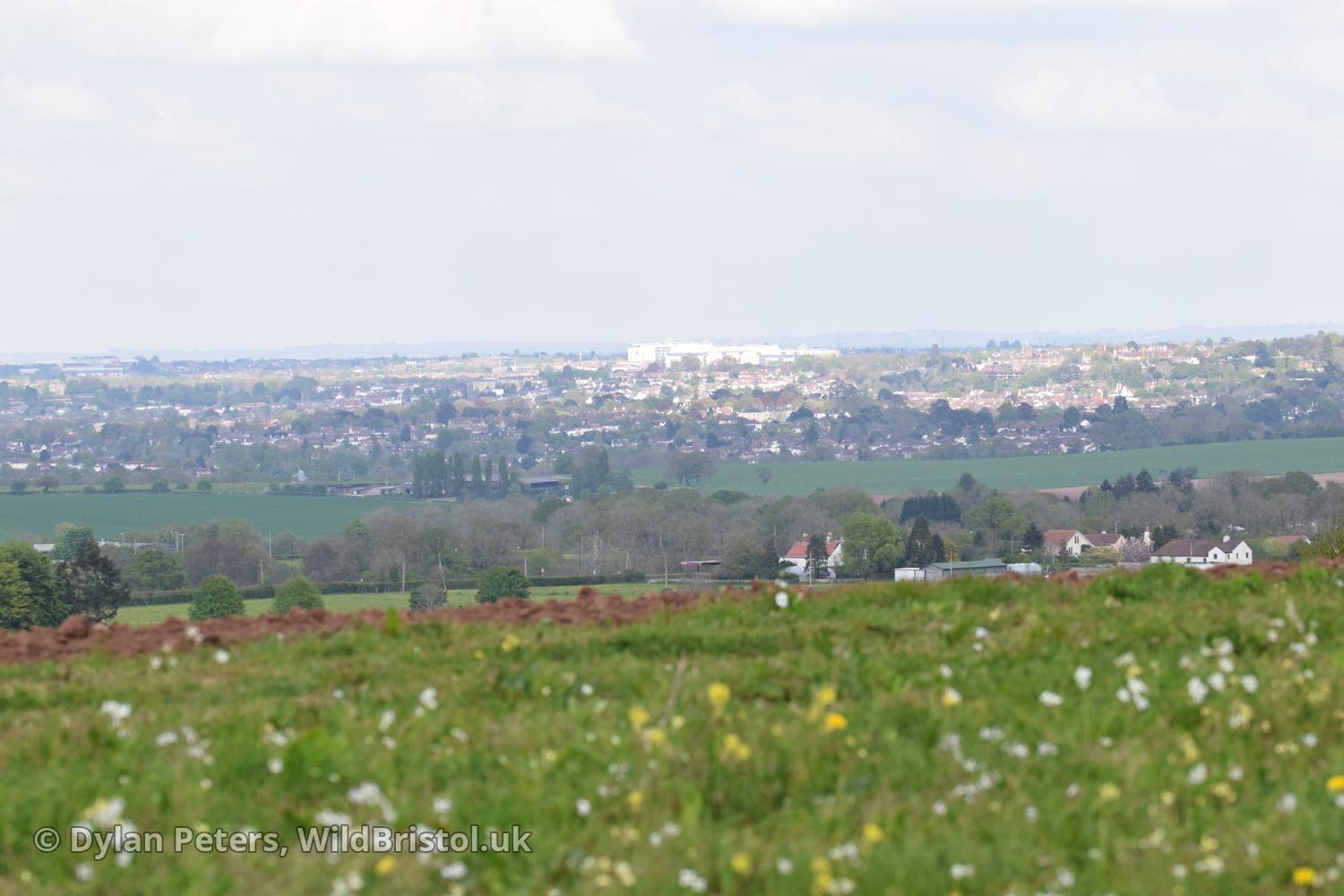
An area comprising of fields, pasture, woodland, hedgerows, scrub, stream and ditches based within the boundaries of a loop made by Failand Lane, Sandy Lane, Common Lane, Happerton Lane, Martcombe Road, High Street and Mill Lane.
Map
Here is a map showing this place: